On this page
To navigate with a phone app on the trail, download offline maps for your whole area before you leave signal, load or draw your route, and check your position against the route at every junction. Protect the battery with airplane mode and a power bank, and carry a paper map and compass as a backup, because a phone is a tool that can fail.
Phone navigation apps have made it far easier for beginners to stay on route. They work best when you understand what the screen is telling you and plan for the moments when the phone dies, freezes or gets wet. This guide covers both.
Key takeaways
- Your phone’s GPS works without cell service, but the map only shows if you downloaded it for offline use first.
- Choose an app with offline topographic maps, route import (GPX), a track recorder and clear off-route alerts.
- Check your location at every trail junction rather than following the line blindly.
- Battery life is the weak point: use airplane mode, lower brightness, keep the phone warm and carry a power bank.
- Always carry a paper map and compass and know how to use them as a backup.
- Leave a trip plan with someone at home, because a navigation app does not replace a plan.
How does a phone navigation app work on the trail?
A phone navigation app works by using your phone’s built-in GPS receiver to find your position from satellites, then showing that position as a dot on a map. GPS does not need cell signal, so it works in remote areas. The map itself must be downloaded beforehand, or you will see a dot on a blank screen.
Most phones also use cell towers and Wi-Fi to speed up the first position fix, so the first lock in a remote area can take a little longer than in town. Once the phone has a fix, it keeps updating your position as you move.
Here is what each part of the system does:
| Component | What it does | Needs cell signal? |
|---|---|---|
| GPS receiver | Finds your location from satellites | No |
| Offline map | Shows trails, contours and features around you | No, if downloaded first |
| Online map | Streams map tiles as you scroll | Yes |
| Route or GPX file | Shows the planned line you intend to follow | No, once loaded |
| Track recording | Logs where you have actually walked | No |
| Sharing or messaging | Sends your location to others | Usually yes, or satellite |
Understanding this table solves the most common beginner problem. People open the app on the trail, find no signal and assume GPS is broken, when in fact they simply never downloaded the map.
What features should a hiking navigation app have?
A good hiking navigation app should offer offline topographic maps, the ability to import or draw routes, track recording, an off-route alert, a clear position and heading display, and easy coordinate sharing. Many apps offer free versions with limited offline downloads, while paid tiers add more map layers and offline areas.
Look for these features when you compare apps:
- Offline maps: downloadable map areas you can use with no signal.
- Topographic layers: contour lines that show hills and valleys, not just a street style map.
- Route import and planning: load GPX files from trusted sources or draw your own route.
- Track recording: a breadcrumb trail of where you have walked, useful for retracing steps.
- Off-route alerts: a sound or vibration if you leave the planned route.
- Heading or compass mode: shows which way the phone is pointing.
- Coordinates: shows your position as latitude and longitude, and sometimes UTM or a national grid.
- Battery saving options: lower GPS update rates or a dark map style.
Also check which map sources the app uses. Some use community maps, others use official government topographic maps, and coverage quality varies by region. In the UK, many hikers want Ordnance Survey mapping; in the US, layers based on USGS topographic maps are common.
How do you prepare your phone and app before a hike?
Preparing your phone and app before a hike means downloading offline maps that cover your whole route and some area around it, loading the route, fully charging the phone and power bank, and testing the app at home in airplane mode. A five minute test the night before catches most problems while you can still fix them.
Follow these steps the day before:
- Download the offline map area for your route plus a generous margin on every side.
- Import or draw your planned route, and check it follows real trails on the map.
- Mark key points such as the trailhead, junctions, water sources and the turnaround point.
- Switch the phone to airplane mode with location on, and confirm the map and route still display.
- Charge the phone and power bank fully and pack the charging cable.
- Update the app at home, not at the trailhead where there may be no signal.
- Note the trailhead coordinates and save them in the app.
Tip: Make your downloaded map area larger than you think you need. If you take a wrong turn or need to bail out by a different trail, you want the surrounding area on your screen too.
How do you follow a route with a phone app?
To follow a route with a phone app, start recording at the trailhead, compare your position dot with the planned route line at every junction, and use the map’s landmarks and contours to confirm what you see around you. Do not keep the screen on all the time; check it at decision points and every so often between them.
A simple routine keeps you on track without draining the battery:
- Start track recording at the trailhead so you can retrace your steps if needed.
- Look at the route before each section and note the next junction or landmark.
- Put the phone away and walk, watching for the feature you noted.
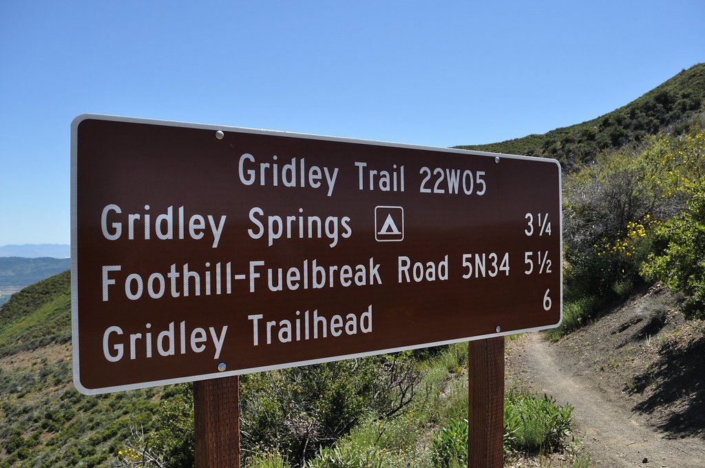
- At each junction, stop, check the dot against the route and read any trail signs.
- If the off-route alert sounds, stop and check before walking any further.
- Check your elapsed time against your turnaround time.
How do you read your position on a phone map?
Your position usually appears as a dot, often with a cone or arrow showing the direction your phone faces. A circle around the dot shows the accuracy estimate, which grows larger under heavy tree cover, in deep canyons or beside cliffs. If the circle is wide, wait a moment for the position to settle before choosing a direction.
How do contour lines help on a phone app?
Contour lines connect points of equal elevation. Lines close together mean steep ground, while lines far apart mean gentle ground. Matching contours to what you see, such as a climb ahead or a ridge to your left, is the best way to confirm the dot is right. Our guide to basic navigation with map and compass explains contours in more depth.
How do you save phone battery while navigating?
Saving phone battery while navigating comes down to reducing what the phone does in the background. Use airplane mode with location left on, lower screen brightness, close other apps, turn off unneeded radios, keep the phone warm in cold weather and carry a charged power bank and cable. Check the screen at decision points instead of constantly.
| Battery drain | How to reduce it |
|---|---|
| Searching for cell signal | Turn on airplane mode, keep location on |
| Bright screen | Lower brightness, use a dark map style if offered |
| Screen always on | Lock the screen between checks |
| Cold temperatures | Keep the phone in an inside pocket close to your body |
| Background apps | Close apps you do not need |
| Frequent photos and video | Limit filming, or carry a separate camera |
| Very frequent GPS updates | Use a battery saving tracking mode if the app has one |
Cold weather deserves special attention. Batteries lose capacity quickly in the cold and some phones shut down early even when the display shows remaining charge. Keep the phone and power bank close to your body and warm them before use. Our guide on how to pack a backpack efficiently covers where to keep a phone, power bank and map so they are easy to reach.
Why should you carry a map and compass as a backup?
You should carry a map and compass as a backup because phones can run out of battery, crack, get wet, overheat or lose a GPS fix. A paper map never needs charging and shows a wider area at a glance. Navigation is one of the Ten Essentials recommended by the National Park Service for that reason.
Treat the phone as your main convenience tool and the paper map as your safety net. Keep the map in a waterproof bag where you can reach it, and practice simple skills like orienting the map and taking a bearing before you need them.
You can also use the two together: use the app to pinpoint where you are, then look at the paper map to see the bigger picture of the terrain, alternate routes and escape options. Read more in the Ten Essentials for hiking explained, which covers navigation alongside water, light, first aid and the rest.
What should you do if you get lost with a phone app?
If you get lost while using a phone app, stop moving, stay calm and check your position on the map. Compare your track recording with the planned route to see where you left it. If you can safely retrace your steps to the last known point on the route, do so. If not, stay put and call for help.
A simple approach many outdoor agencies teach is to Stop, Think, Observe and Plan. In practice:
- Stop: do not keep walking in the hope of finding the trail.
- Think: when did you last know exactly where you were?
- Observe: look at the map, your track line and the terrain around you.
- Plan: retrace your track to the route, or stay in place if you are unsure or it is getting dark.
If you or someone in your group is injured, or you cannot find your way and conditions are getting worse, call your local emergency number (911 in the US and Canada, 999 or 112 in the UK, 000 in Australia). In some areas you can also text emergency services. Have your coordinates ready from the app to share. Some recent phones support satellite emergency messaging where there is no cell signal, and dedicated satellite messengers are another option for remote trips.
How do you plan water and stops with a navigation app?
A navigation app helps you plan water and rest stops by letting you mark streams, lakes, springs and shelters along your route before you leave. Check recent trip reports or the land manager for whether water sources are flowing, since seasonal streams can dry up, and always plan to treat natural water before you drink it.
Useful points to mark on your route:
- Reliable water sources and how far apart they are.
- Your planned lunch spot and any viewpoints.
- Bail-out trails that let you shorten the hike.
- Your turnaround point and turnaround time.
- The parking area and any second trailhead.
When you refill from streams or lakes, follow the steps in our guide on how to purify water in the backcountry.
What are common mistakes when navigating with a phone app?
The most common mistakes when navigating with a phone app are forgetting to download offline maps, starting a hike with a half-charged phone, following the line without checking real landmarks, relying on unverified routes found online, and carrying no backup. Each is easy to avoid with a few minutes of preparation at home.
Other mistakes to watch for:
- Downloading a map area that only covers the trail itself.
- Leaving the screen on with full brightness for hours.
- Ignoring the accuracy circle in steep or wooded terrain.
- Assuming every trail on the map is open, maintained or legal to use.
- Not telling anyone your planned route or return time.
- Letting the phone get cold or wet in an outside pocket.
Frequently asked questions
Do hiking apps work without cell service?
Hiking apps can work without cell service because phone GPS uses satellites, not cell towers. The catch is that the map tiles must be downloaded for offline use before you lose signal. Without offline maps, you may see your location dot on a blank screen. Test the app in airplane mode before your hike.
Is a phone enough for navigation on a hike?
A phone is a powerful navigation tool, but it should not be your only one. Batteries die, screens crack and devices can fail in cold or wet weather. Carry a paper map and compass for your area, know basic skills, and leave a trip plan with someone at home before every hike.
How much battery does a hiking app use?
Battery use varies widely by phone, app, screen settings and temperature, so there is no single figure. You can cut drain by using airplane mode with location on, lowering brightness, locking the screen between checks and keeping the phone warm. Carry a charged power bank and cable on longer hikes.
What is a GPX file?
A GPX file is a common file format that stores routes, tracks and waypoints as GPS coordinates. Many hiking apps can import a GPX file so you can follow a planned route, or export your recorded track to share it. Only use GPX files from trusted sources, and check them against a map.
Sources and further reading
- National Park Service for the Ten Essentials and park trail conditions.
- US Geological Survey for US topographic map information.
- Ordnance Survey for UK mapping.
- Leave No Trace for planning and preparing for outdoor trips.
If anyone is injured or in danger, call your local emergency number right away.
Featured photo: The Fun Chronicles via Openverse (CC0).