On this page
To find good walking routes near you, start with a mapping or walking app that shows footpaths and trails, then check your local parks department, trail websites and walking groups for suggested routes. Shortlist a few loops that match your distance, surface and safety needs, and test them in daylight before making them part of your routine.
A good route is one you will actually walk: close enough to reach easily, pleasant enough to enjoy and suited to your fitness and the season. This step-by-step guide shows where to look, how to judge a route before you go, how to build your own loops, and how to keep variety in your walks without getting lost or ending up somewhere uncomfortable.
Key takeaways
- Use a mix of sources: mapping apps, local parks and trail websites, walking groups and printed maps.
- Decide what you want first: distance, time, surface, hills, scenery and whether you need a loop.
- Check a route on a map before you go, including access points, crossings, lighting and facilities.
- Start with short, well-used loops and build a small library of favorites for different days.
- Tell someone your plan for longer or quieter routes, and carry water and a charged phone.
- Revisit routes in different seasons; conditions change with rain, ice and daylight.
What makes a good walking route?
A good walking route matches your goals and comfort: the right distance and time, a surface suited to your shoes, a safe way to cross roads, pleasant surroundings and easy access from home. Loops are often more enjoyable than out-and-back routes. A route that feels safe, interesting and easy to reach is one you will return to.
Before you search, decide what you need:
| Factor | Questions to ask yourself |
|---|---|
| Distance and time | How long do I want to walk, and at what pace? |
| Surface | Pavement, gravel, grass or dirt trail? |
| Hills | Do I want flat ground or some climbing? |
| Shape | Loop, out-and-back or point-to-point with transit? |
| Scenery | Parks, water, woods, city streets, historic areas? |
| Safety | Well-lit, busy enough, safe crossings? |
| Facilities | Restrooms, water fountains, benches, parking? |
| Accessibility | Step-free, smooth surfaces, rest stops? |
If you are new to walking for exercise, our guide on how to start walking for exercise helps you set a realistic starting distance.
How do you find walking routes near you with apps and online maps?
To find walking routes near you online, open a mapping app with walking directions or a dedicated walking and hiking app, look for green spaces, footpaths and trails near your home, and browse routes other walkers have shared. Check each route’s distance, elevation and recent reviews or photos. Save a few favorites to try.
Step by step:
- Open a map app and zoom in on your neighborhood, looking for parks, greenways, riverside paths and trails.
- Turn on a terrain or outdoor layer if the app offers one. It often shows footpaths that standard views hide.
- Search a walking or hiking app for routes near your location, filtered by distance and difficulty.
- Read route notes, recent reviews and photos for current conditions.
- Check elevation profiles if you want to avoid steep sections.
- Save the route offline if signal may be weak.
Some apps use OpenStreetMap, a community-built map that often includes small paths and cut-throughs. Map data is only as current as its last update, so treat closures and new construction with caution. For tips on following a route on your phone, read how to navigate with a phone app on the trail.
Tip: Use satellite view to preview a path. You can often see whether it runs through woods, along a road or across an open field.
Where else can you find local walking routes?
Beyond apps, good local walking routes are often listed by city or county parks departments, state and national park websites, local tourism offices, libraries and walking or hiking clubs. These sources usually describe accessible trails, loop distances and facilities, and their routes are often maintained and signposted. Walking groups also share favorite routes and tips.
Places to look:
- Parks and recreation departments: many publish maps of park paths, greenways and trail networks.
- State, provincial and national park websites: the National Park Service and regional park agencies list trails with lengths and difficulty.
- Tourist information centers: often have free walking maps, including heritage and city walks.
- Libraries and community centers: may have local guidebooks or walking club notices.
- Walking and hiking clubs: group walks are a safe way to learn new routes.
- Neighbors and local social groups: ask for favorite loops and quiet paths.
Regional notes for UK, Canada and Australia
In England and Wales, public rights of way such as footpaths and bridleways are marked on Ordnance Survey maps, and local councils maintain them. See GOV.UK for guidance on rights of way and access land. Scotland has its own access rules. In Canada and Australia, provincial, state and local park agencies publish trail maps, and many cities maintain walking and cycling path networks.
How do you check a walking route before you go?
Checking a walking route before you go means reviewing the map for distance, shape and elevation, spotting road crossings and quiet stretches, checking access points and parking, and looking for facilities like restrooms. Read recent reviews or notes for closures and mud. Then decide whether to try it in daylight first.
A quick pre-walk checklist:
- Confirm the total distance and estimate time at your normal pace.
- Look at the elevation profile for steep sections.
- Note where you will cross busy roads and whether there are crossings.
- Identify exits or shortcuts in case you want to cut the walk short.
- Check for restrooms, water and benches.
- Read recent reports for closures, flooding or construction.
- Check the weather and daylight hours.
- Tell someone your route if it is long or quiet.
If you plan to use trails rather than pavements, our guide on how to read a trail map explains symbols and contour lines.
How do you create your own walking loop?
To create your own walking loop, pick a start point such as your front door or a park entrance, use a route planning tool or map app to draw a circular path along sidewalks, paths and trails, and check the distance. Adjust the loop by adding or removing streets or park paths until it matches the time you want.
Step by step:
- Choose a start and end point you can reach easily.
- Open a route planner or map that lets you draw or add waypoints.
- Connect quiet streets, park paths and trails into a loop.
- Check the distance and adjust until it fits your time.
- Avoid long stretches beside fast roads with no sidewalk.
- Walk it once in daylight and note anything to change.
- Save it and name it, for example “Short park loop” or “Riverside long loop”.
How do you build a library of routes?
Over time, collect a few routes for different needs:
| Route type | When to use it |
|---|---|
| Short loop | Busy days or quick breaks |
| Medium loop | Regular exercise walks |
| Long route | Weekends and building endurance |
| Bad weather route | Rain or ice, on well-drained, lit paths |
| Scenic route | When you want something special |
| Social route | Walking with friends or family, with places to stop |
This makes it easy to choose a walk based on time and weather without planning each day.
How do you choose routes for different seasons and weather?
Choosing routes for different seasons means picking well-lit, well-drained and busier paths for winter and wet weather, shaded routes for hot days and scenic or longer trails when conditions are best. Surfaces change through the year. A pleasant grassy path in summer can become muddy, icy or dark in winter.
Seasonal tips:
- Rain: choose paved or gravel paths that drain well. See how to walk comfortably in the rain.
- Winter: pick lit, regularly cleared routes and avoid shaded slopes that hold ice. Read how to walk safely in winter.
- Heat: look for shade, water fountains and early morning or evening times.
- Short daylight: keep routes closer to home and well-lit.
- Autumn: wet leaves can be slippery on paths and steps.
Tip: Keep a “plan B” route nearby that is paved and lit. If weather turns, you can still walk without skipping the day.
How do you stay safe on new walking routes?
Staying safe on new walking routes means trying them in daylight first, telling someone where you are going for longer or quieter walks, carrying a charged phone and water, and staying aware of traffic and your surroundings. Trust your instincts. If a path feels unsafe or conditions worsen, turn back or choose a busier route.
Safety habits:
- Walk new routes in daylight before trying them early or late.
- Share your route and expected return time on longer walks.
- Carry your phone, ID, water and a light layer.
- Wear reflective or bright clothing near roads.
- Keep one ear free if you listen to music.
- Watch your footing on uneven or wet ground.
- Know where you are, so you can describe your location in an emergency.
Comfortable footwear helps too. Our comparison of hiking boots vs trail shoes helps if your routes include rougher trails, and the walking gear checklist for beginners covers the rest of your kit.
What are common mistakes when finding walking routes?
Common mistakes when finding walking routes include choosing a route that is too long for your fitness, trusting map data without checking for closures, ignoring road crossings and lighting, picking only out-and-back routes and walking the same path every day until it feels boring. Planning a few varied routes and checking them first avoids most problems.
Avoid these:
- Overestimating distance. Start shorter and build up.
- Trusting old map data. Paths close, and new ones open.
- Forgetting how you get back. Point-to-point routes need transport.
- Ignoring daylight. A route that feels safe at noon may not at dusk.
- Skipping a weather check. Rain and ice change paths fast.
- No variety. Rotating routes keeps walking interesting.
- Not telling anyone. Share plans for long or remote walks.
How can you go further once you have local routes?
Once you have a few local routes, you can go further by linking routes into longer walks, trying nearby trail networks, joining group walks or planning a walking day trip. Gradually increasing distance and variety keeps walking interesting and builds fitness. Eventually, some walkers plan multi-day routes or walking holidays.
Ideas:
- Link two local loops into a longer weekend walk.
- Try a trail network in a nearby state or regional park.
- Join a local walking group for new routes and company.
- Plan a walking day trip using public transit for a point-to-point route.
- Choose a long-distance trail and walk it in sections.
When you are ready for more, our guide on how to plan a long-distance walk is the next step.
Frequently asked questions
How can I find walking trails near me for free?
You can find free walking trails near you using map apps with walking or terrain views, free versions of hiking apps, and websites run by city, county, state and national park agencies. Tourist offices and libraries often have free walking maps. Local walking clubs and community groups also share routes and run free group walks.
What is a good distance for a daily walk?
A good daily walking distance depends on your fitness, health and time. Many beginners start with short walks of around ten to twenty minutes and build up gradually. Focus on consistency first, then add time or distance as you feel comfortable. If you have a health condition, ask your doctor what level of activity suits you.
How do I make a circular walking route?
Pick a start point, then use a route planner or map app to connect quiet streets, park paths and trails into a loop. Check the total distance and adjust by adding or removing sections. Walk it once in daylight, note any problem spots, and save the route so you can repeat or adjust it later.
Are walking apps accurate?
Walking apps are usually accurate enough for planning and following routes, but GPS can drift under trees or near tall buildings, and map data may not show recent closures or new paths. Read recent reviews or notes, check signs on the ground and carry a backup, such as a downloaded map or a printed copy for longer walks.
How do I find safe walking routes at night?
Choose well-lit, busier routes you already know from daytime walks, such as main streets, lit park paths or school tracks open to the public. Avoid isolated paths, wear bright or reflective clothing, carry a charged phone and tell someone your plan. If a route feels unsafe after dark, keep it for daylight walks.
Sources and further reading
- National Park Service for trail information in US national parks.
- GOV.UK for guidance on public rights of way in England and Wales.
- OpenStreetMap for a free community-built map that shows many footpaths.
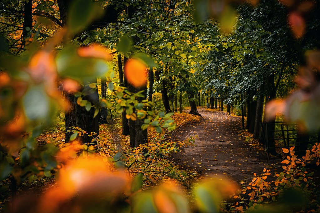
Featured photo: Artem Beliaikin via Openverse (CC0).